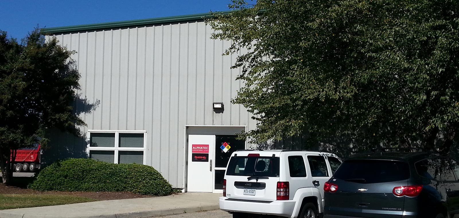
Company Overview
- Home
- Company Overview
WE ARE ALPHATEC
Alphatec Surveyors is a full service surveying company located in Chesapeake, Virginia. Alphatec was established in 1995 by John Hill, a state certified surveyor with over 43 years of experience in the field servicing Southeast Virginia and the Elizabeth City - Outer Banks regions of North Carolina. With this length and form of experience comes a distinct familiarity of the topography and unique properties of our region. We find this an advantage we strive to use to our client’s benefit.
To always provide fast, highly accurate and on-time delivery of survey data, materials and sound advice to our clients utilizing our decades of real world experience, cutting-edge equipment and technical capability.
We want to be known as the company that translates its surveying knowledge, experience and technology into fast, accurate and on-time solutions for our clients making it obvious that our services have allowed them to realize a significant saving in time, resources, cost and future risk.
WHAT MAKES US THE BEST CHOICE?
Our extensive surveying experience is combined with a heavy investment in obtaining and becoming proficient with the latest technology in the industry. These technologies involve the use of GPS positioning, laser and unmanned aerial systems in conjunction with machine controls and powerful 3D modeling software.
Our larger regional general contractor clients have realized the benefit of updating their heavy construction equipment with machine control GPS and laser technology, finding that the benefits are far outweighing the costs in time and resource savings.
The benefits of this technology has proven itself in areas of obtaining almost immediate and precise survey data; reducing the need for highly-train skilled labor; obtaining faster site grading and construction accuracy; and huge benefits in areas of site safety. The new technology is also demonstrating benefits in speeding up project timelines by reducing the time to perform as-built surveying requirements during the course of a build.
HOW OUR CONCEPT REVOLUTIONIZES OPERATIONS
- Greatly increasing our productivity;
- Increasing the speed and accuracy of updating as-built data;
- Transforming survey elevation data accuracy to millimeter scale;
- Requiring less manpower per project;
- Providing better and faster data and business communication integration with clients and site managers;
- Virtually eliminating site safety concerns. Far exceeds OSHA safety criteria;
- Being able to now perform precise survey data gathering coverage over hundreds of acres a day with one or two personnel - where it took teams of people a full day to be able to survey less than ten acres in the past.
- Providing data that easily integrates into the region’s major general contractors heavy equipment machine control GPS systems.
- Proving these methods translate into significant time, resource, decision-making and cost savings for our clients
OUR TOOLS OF THE TRADE
Alphatec uses Topcon GPS equipment for our construction stakeouts. The company also possesses several purpose-specific Leica instruments for our traditional survey equipment.3
Our data collectors run Carlson SurvCE which allows us to perform some drafting functions in the field which in turn delivers critical drawings to our clients faster.
We are also proficient in operating the following Carlson survey software programs: Survey, Point Cloud, CADnet, and Civil. These tools and equipment have the company positioned to being in the forefront for quickly and accurately providing a wide range of simple to complex surveying capabilities to the table.
PROFESSIONAL AFFILIATIONS

National Society of Professional Land Surveyors
Virginia Association of Surveyors
North Carolina Society of Professional Surveyors
LICENSES
1978 Virginia 3A Land Surveyor
1979 North Carolina Professional Land Surveyor
1988 Virginia 3B Land Surveyor
